

Brandon Hill Walking Trail
Brandon Hill loop starts in the town of Graiguenamanagh. The trailhead is at the junction on Lower Main Street.
Dist/Time……………………………………………18km / 7hrs
High/Ascent………………………………………520m / 600m
Difficulty………………………………………………………..Hard
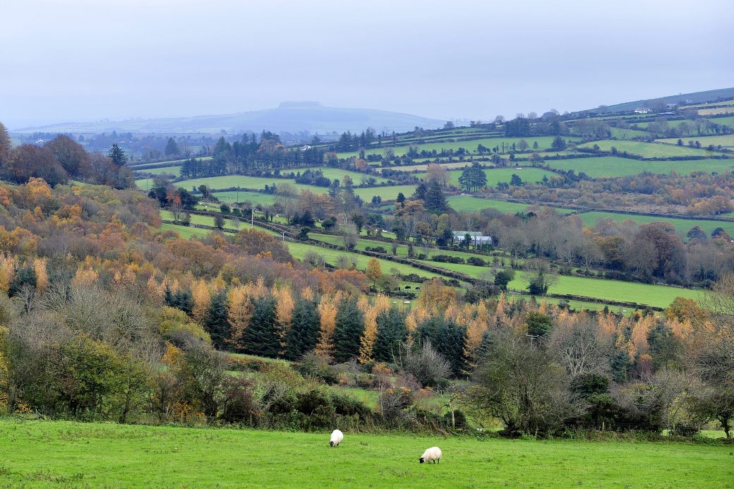
Terrain – Minor roadways, forestry tracks and hillside paths
To Suit…………………………………..Experienced walkers
Minimum Gear – Hiking boots, rain gear, fluids, snacks and mobile phone
Grid Ref.OS Sheet 68, S708 436
A-B
Starting from the trailhead, follow the purple arrows which guide you around this loop and begin at the exit of the town. You are also following the yellow arrows of the South Leinster Way. Ascend to reach the end of a cul-de-sac at the side of the town bypass. Cross the road to join a minor road. Follow this road for 200m to reach a junction with another minor road on your left. Turn left here.
B-C
Follow this road for almost 2km where it merges into a forestry roadway – still following the purple and yellow arrows. After 200m the forestry track turns a right bend and passes through a barrier into Gorlough Wood. 300m later you reach a 3-way junction where the South Leinster Way continues straight, but you turn left.
C-D
Continue to follow purple arrows along a forestry track for 3km to reach another 3-way junction where the loop veers right. Ascend along the forestry track as it zig-zags and then skirts around Ballinvarry Hill. After nearly a 2km walk, you reach a crossroads of tracks where the loop turns sharp right onto a ‘green’
roadway and starts the ascent toward Brandon Hill.
D-E
After 500m of a climb, you reach a concrete stile and join a track where you turn right along the top of forestry and open hillside on your left. Pay close attention now because less than 200m later you will turn left again and join a path on the hillside which will take you to the top of Brandon Hill.
E-F
From the top, look for a waymarker which points you onto a stony path which marks the start of your inward journey. The path zig-zags and descends downhill to reach the edge of forestry where you veer right on to a forestry road.
F-C
After nearly 1km you reach a Y-junction where the loop rejoins the South Leinster Way. Veer right and start to descend again into Gorlough Wood – following the purple and yellow arrows. Pass by the site of Reneys Well to rejoin the 3-way junction (at C) where you started the loop. This time, proceed straight and follow the purple (and yellow) arrows back to the town of Graiguenamanagh.


