
Bennettsbridge Walking Trail
Bennettsbridge Walking Trail
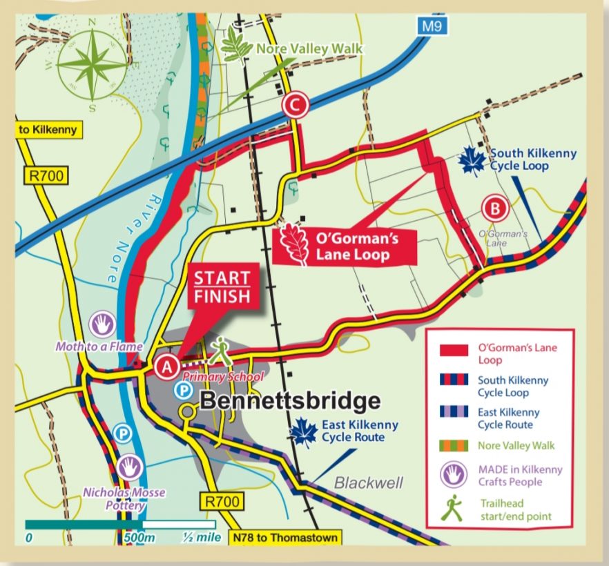
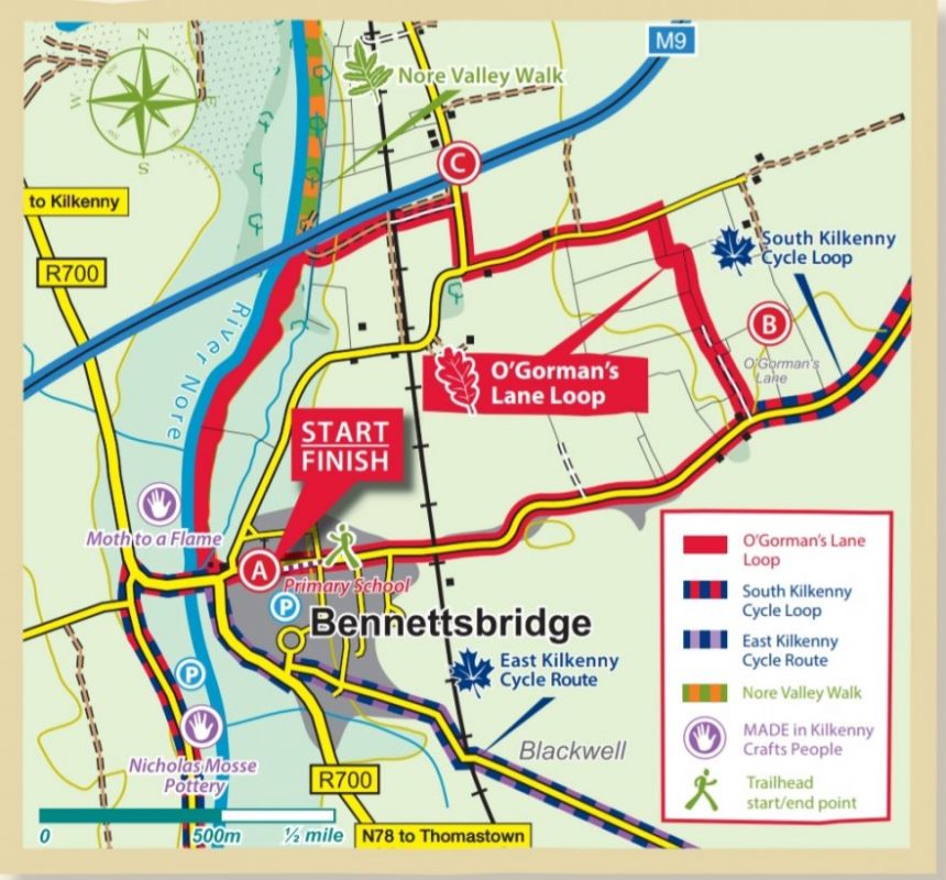
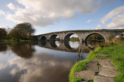
Directions to Trailhead From the N77 Kilkenny City Ring Road, take the R700 at the Bennettsbridge Road Roundabout (signposted New Ross). After approx 8km you enter the pretty village of Bennettsbridge crossing a bridge over the River Nore. As the R700 swings sharp right – cross straight over onto the road to Gowran. The mapboard is attached to Tynan’s butcher shop at the bridge, car parking is available in the Primary School 100 metres through the village on the right hand side
Distance/Time…………………………………………… 4km/1hr
High/Ascent ……………………………………………. 60m/20m
Difficulty ………………………………………………………….Easy
Terrain Country roads, old laneways, woodland tracks, riverbank
To Suit All levels of fitness
Minimum Gear Walking boots, rain gear, fluids and mobile phone
Additional info To protect farm animals, no dogs allowed
A-B With your back to the Primary School turn right and follow the purple arrows along the road to exit the village. Cross the railway bridge and along the road for almost 1km to reach O’Gorman’s Lane (at the side of a house on your left). Turn left here onto the lane.
B-C Follow this old disused laneway as it makes its way across farmland to reach a surfaced road in the townland of Bishopslough West. Turn left and follow the road for 500m to reach a junction where you turn right. After another 500m (and just before you reach the M9 motorway), turn left and cross a stile onto an old roadway which takes you under a tunnel (the railway line) and onto the River Nore. Turn left onto the riverbank.
C-A The final section of the loop follows the river back to Bennettsbridge. Note that the loop now overlaps the Nore Valley Walk. A set of steps takes you into the village at the bridge – turn left and walk 100m back to the trailhead.